
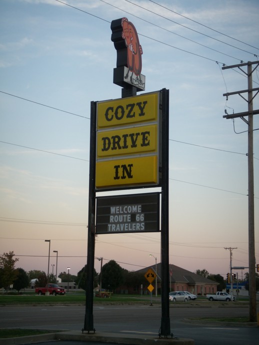
20. Cozy Drive In.
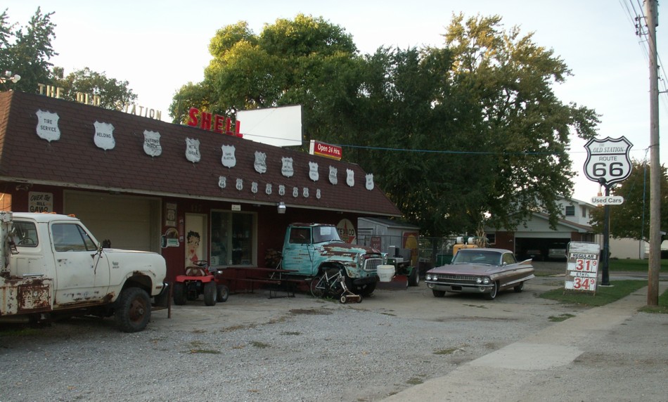
19. Interesting roadside place with old cars.
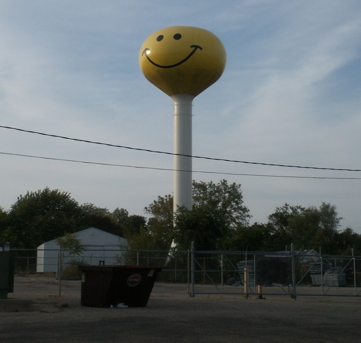
18. Smiley Face water tower.
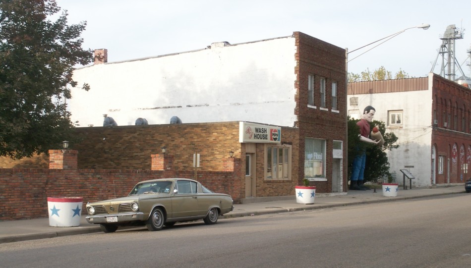
17. Another Big Man.
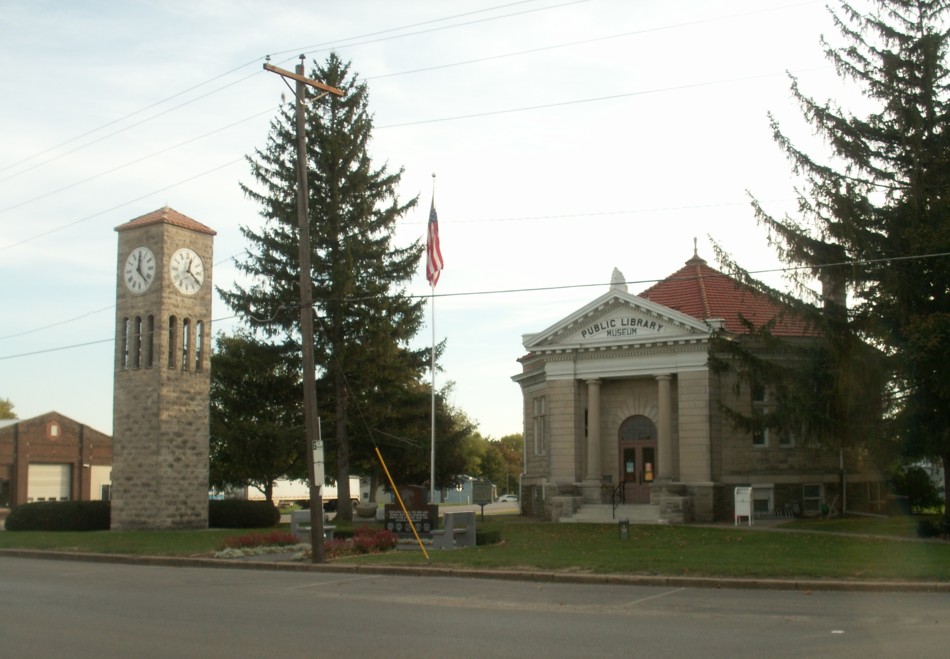
16. Public Library.
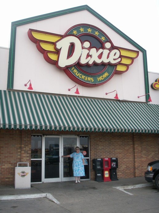
15. Ann at the door of the Dixie Truckers Home.
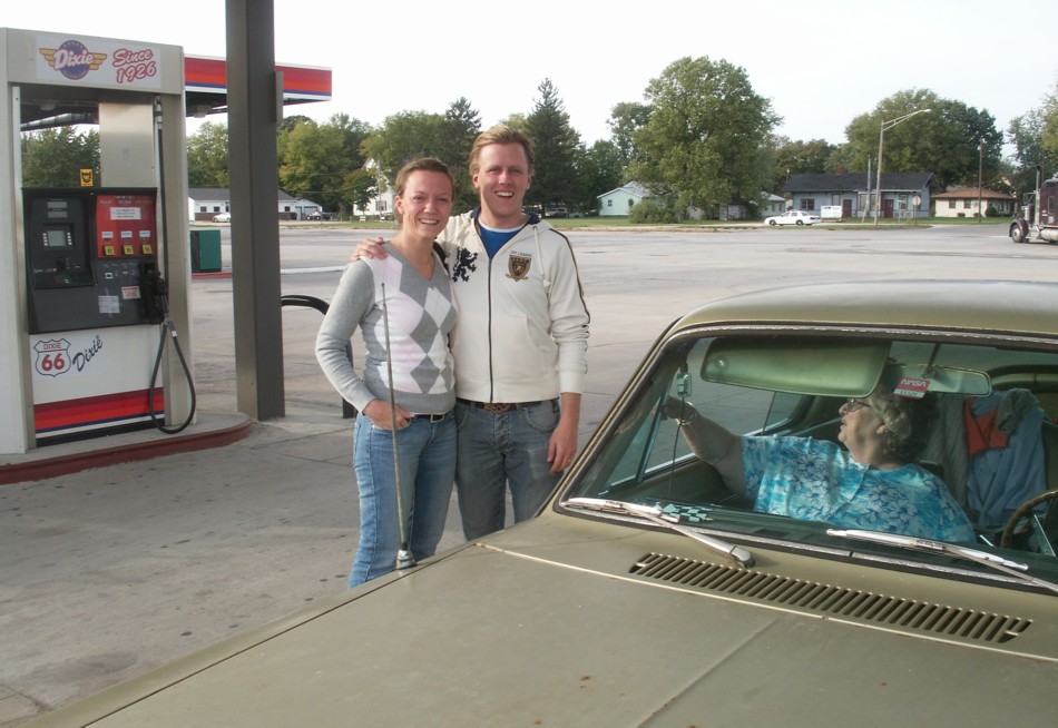
14. Newlyweds, Magnus and Annika, at the Dixie Truckers Home, one of the major locations on the Old Road.
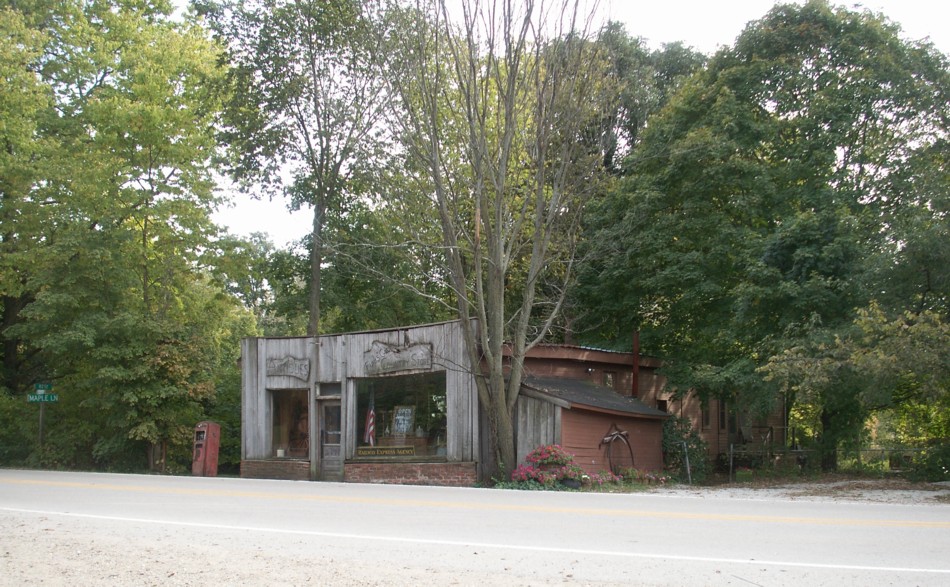
13. One of the old, abandoned filling stations.
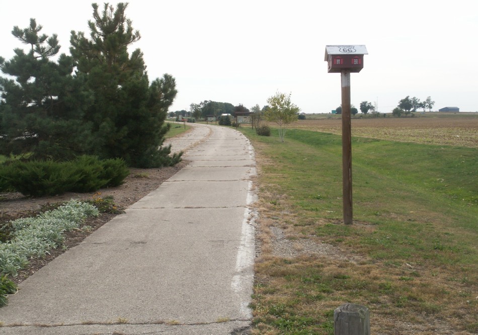
12. This town turned an abandoned road alignment into a linear park.
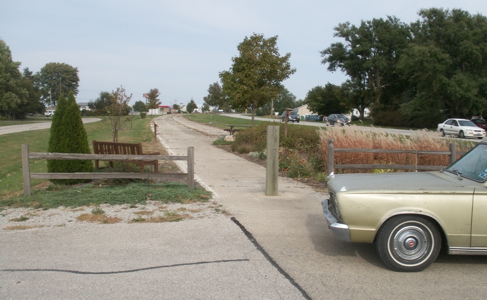
11. Route 66 had become four-lane divided in this area. When I55 was completed, one side of the divided Route 66 was abandoned, but the other side was maintained as a local road. In on stretch, I55 is visible to the west across the abandoned lanes and the railroad runs along old Route 66 on the east. There is a good view of all the alignments from the train.
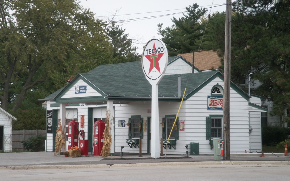
10. One of the many old filling stations along Route 66; some restored and some delapidated.
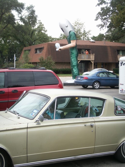
9. View from the parking lot.
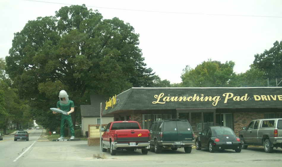
8. View from the parking lot.
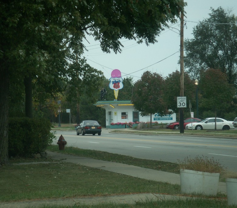
7. This is one of the classic fast food places on old Route 66 with one of the "large men."
Friends ask me if it is really possible to drive on any of the actual Route 66. The answer is "Yes!" but there are conditions. We drove over many of miles of concrete pavement that dated back to the 1930's. But even that pavement bypassed some of the older alignments. There are places where you can drive over the original 1920's alignment. I think most of those sections have been paved over. In many places the old alignment was abandoned and a new pavement was laid beside it. Many small towns were bypassed long ago, so the original Route 66 ran through town and that became "Business" 66 when the bypass was built. Eventually, the Interstate bypassed it all. In some areas the Interstate was built over the Route 66 alignment and nothing is left of the old road. In other places the actual old road was left to serve as the "access" road for the Interstate, but even in some of those areas we saw that the original Route 66 pavement served as local access, while the Interstate access road was called Route 66. I hope I have photos to illustrate most of those configurations. I did miss two areas way out west and some big town areas.
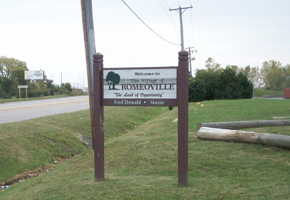
6. We finally made our way over to the 1926 alignment, which is now SH 53, because we wanted to go through both Romeoville and Joliet. Ann read that Joliet may have been a variant of Juliet. By the time we circled a big block to come back for this photo of the Romeoville sign, it was almost 11:00 a.m. so we decided that if we saw a church we'd stop. Just a few blocks further we passed the Romeoville Baptist Church and did a U-turn to go back to worship with them. "The Land of Opportunity" used to be the state motto of Arkansas.
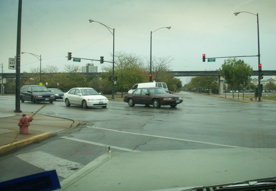
5. This is the intersection where a left turn leads to the old Route 66 on Adams Street. We watched very carefully for the intersection with Ogden Avenue, because it was our road out of Chicago. I had a tendency to try to get caught by the yellow caution lights so that we could double-check our directions. A left turn onto Ogden took us southwest toward Cicero. That part of Chicago seemed to be an old industrial part of town.
We got lost in Cicero because there are so many of the old and new roads in that area and the roads run on either side of the Des Plaines River in that area. We weren't always sure which side of the river the old route was supposed to be on. And besides that, the 1926 alignment of Route 66 became "Alternate US 66" in the late 30s. Now I55 runs between the two old alignments in the Cicero to Joliet area.
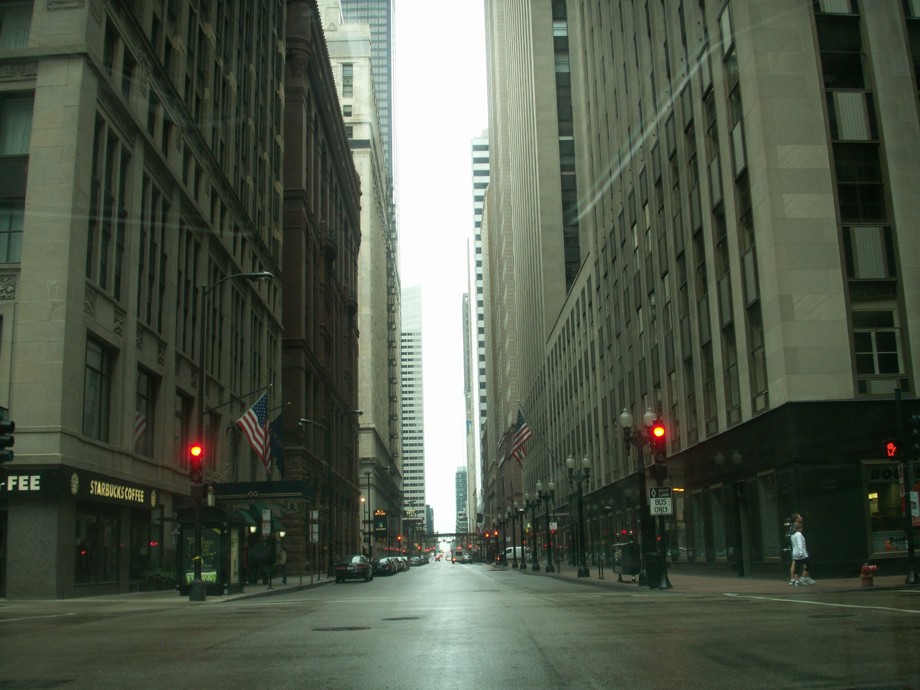
4. Chicago downtown canyon.
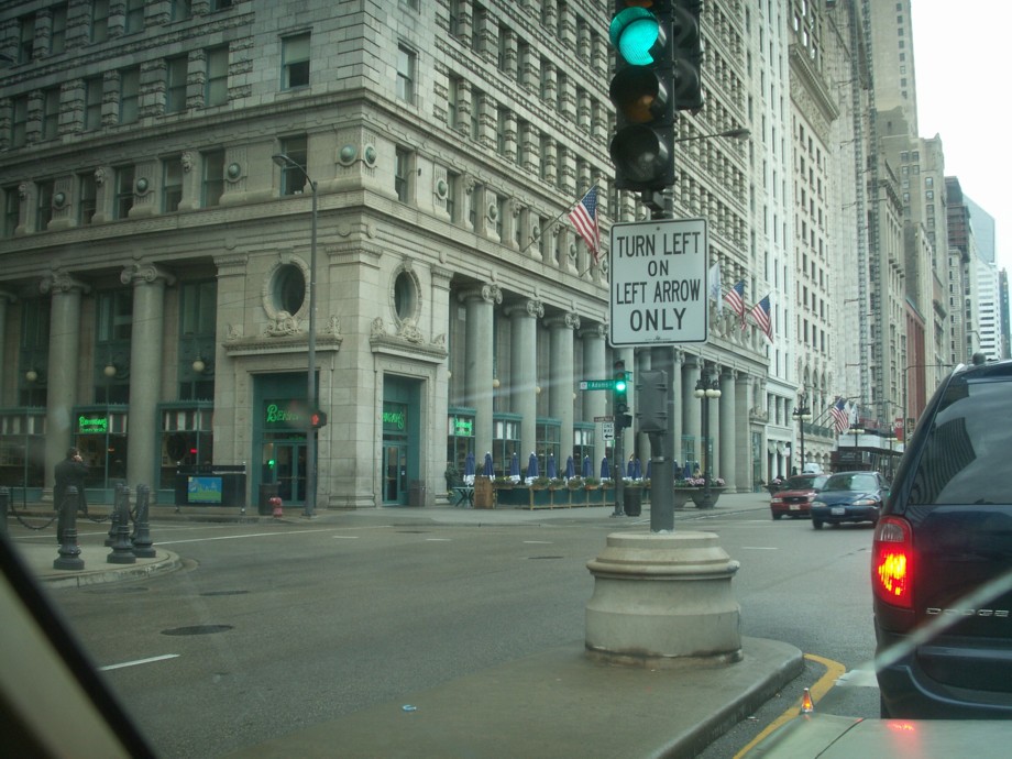
3. Jackson Blvd is two-way to Michigan Avenue, but east bound only there, so the route takes a right onto Michigan Avenue and then north to Adams Street. Adams is one-way west now. The original official start and end point of Route 66 has changed over the years as Chicago grew and its streets changed.
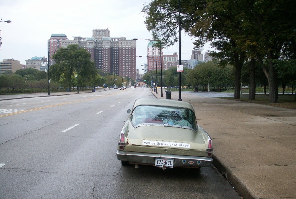
2. The view west on Jackson Boulevard toward downtown Chicago.
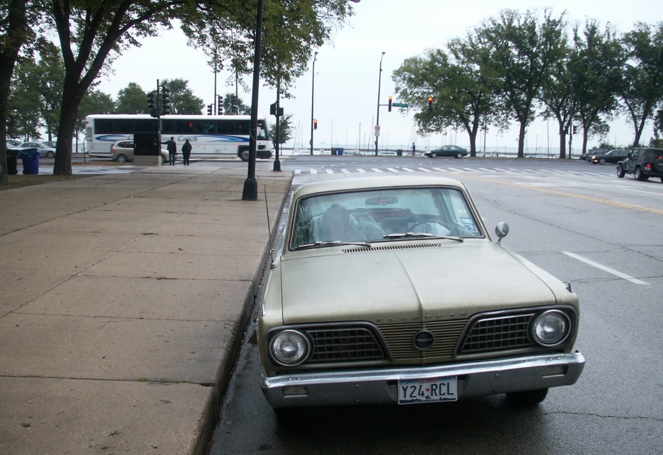
1. We left Chicago early on a Sunday morning in an attempt to avoid traffic. There seemed to be no parking around or in Grant Park and we couldn't find the marker for the 'official' start of Historic Route 66 even though we drove around the park twice. I decided we'd just start from where we were on Jackson Boulevard with Lake Michigan behind us and downtown Chicago ahead of us. I stopped and quickly took photos; then we were on our way.

|