
CROSS OF THE PLAINS - It was running late and getting dark as we approached Groom, Texas, the location of the great Cross of the Plains. We decided that we didn't have time to stop. However, photos from a previous trip are located here. Lifesize bronze depictions of the stations of the cross circle the base of the 190-foot tall cross; that would be about 19 stories. The thumb-nail size photos on the page link to larger copies.
Old Route 66 goes through Groom just south of the cross. Traffic on Interstate 40 is visible to the north of Groom.
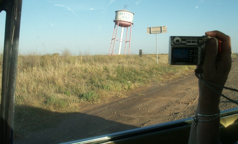
32. The Leaning Water Tower.
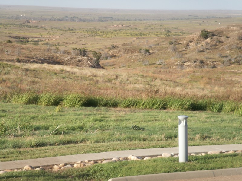
31. Rugged country.
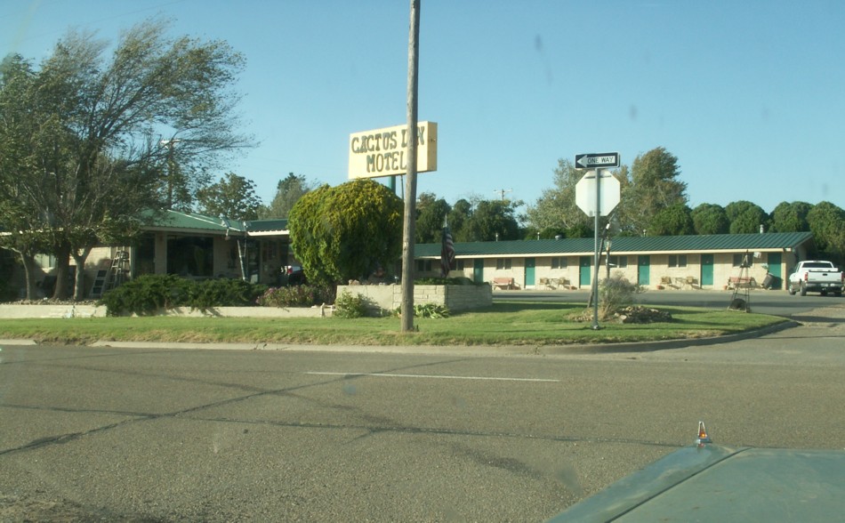
30. The Cactus Inn.
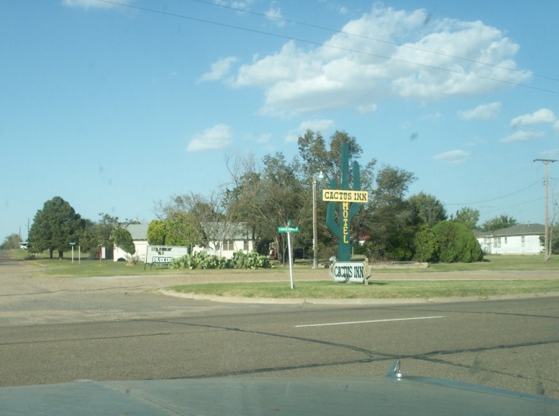
29. Sign for the Cactus Inn.
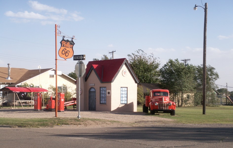
28. A small Phillips 66 station.
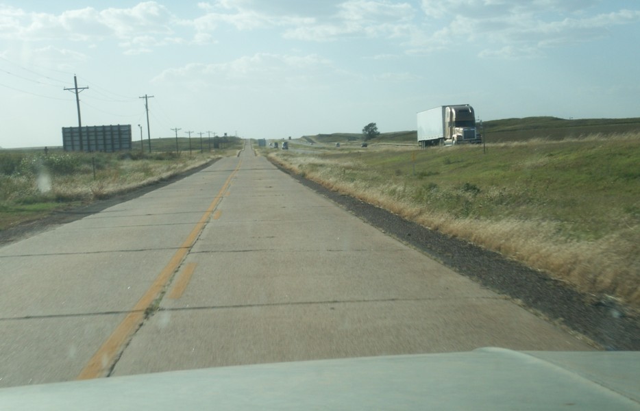
27. The old Route 66 alignment serves as the access road for the freeway.
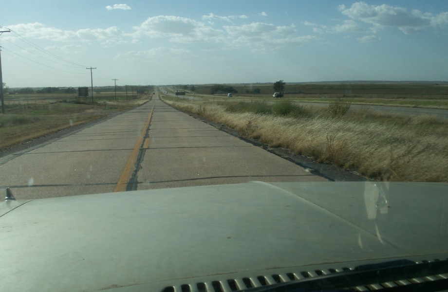
26. The old Route 66 alignment serves as the access road for the freeway.
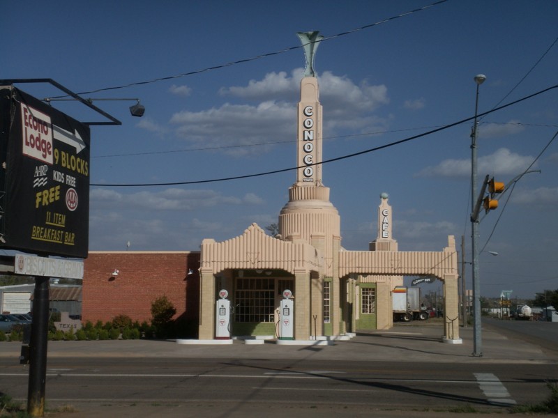
25. Another view of the Conoco U Drop Inn.
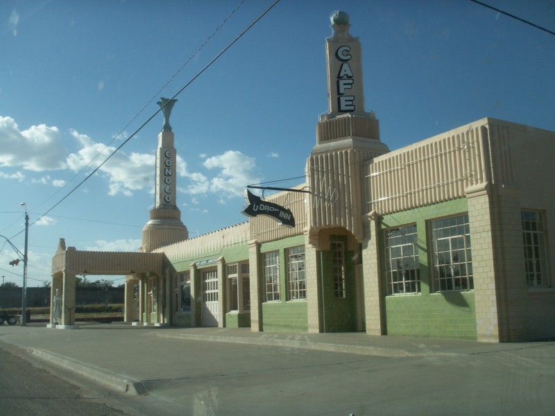
24. The "U Drop Inn."
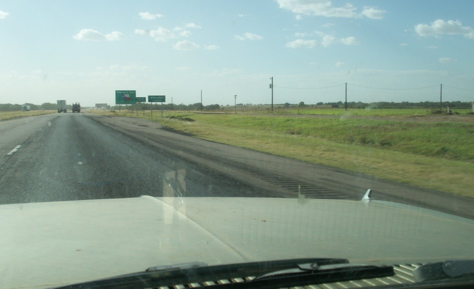
23. Back on the Interstate for a few miles.
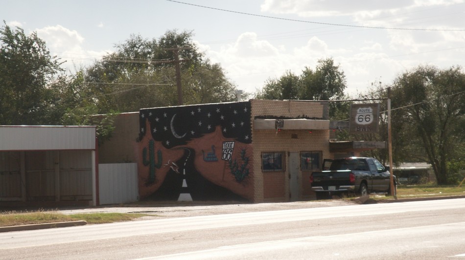
22. Roadside Mural.
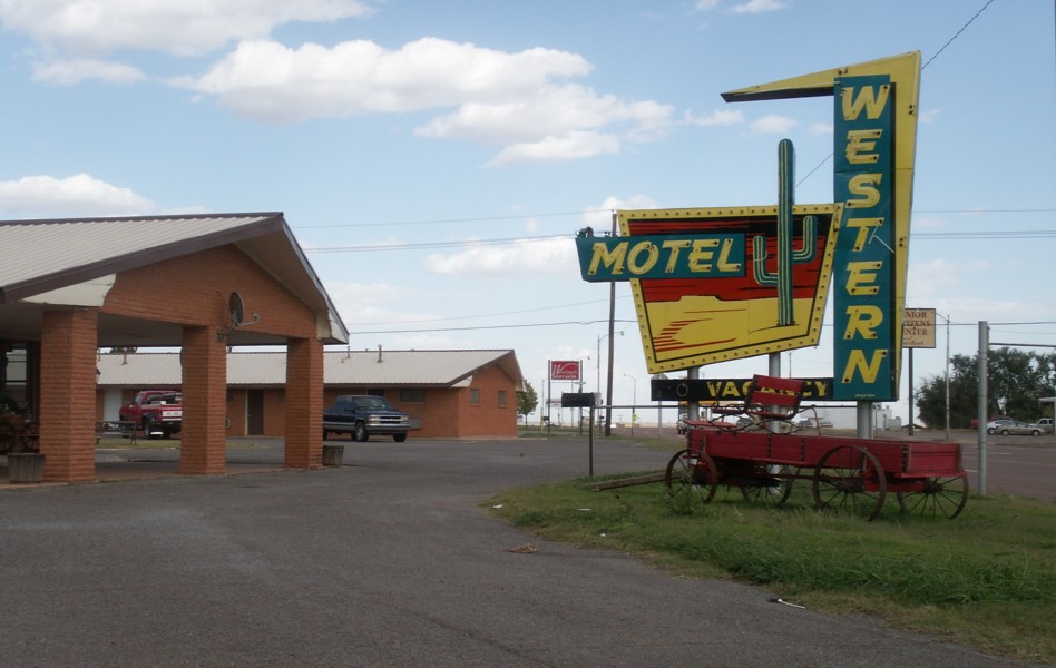
21. Western Motel.
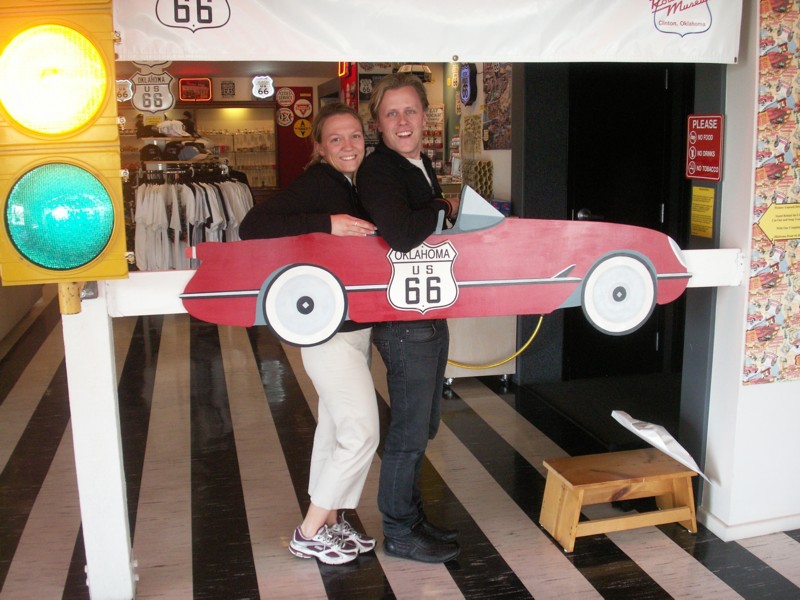
20. Magnus and Annika pose at a photo prop. We met them again in Amarillo at the motel and had breakfast with them. They were planning to take the oldest Route 66 alignment to Santa Fe, so we didn't expect to meet again. They were going to cruise through the Panama Canal and back up the east coast before flying home.
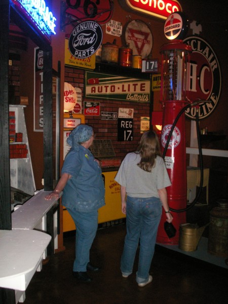
19. Ann and Becky looking at the museum displays.
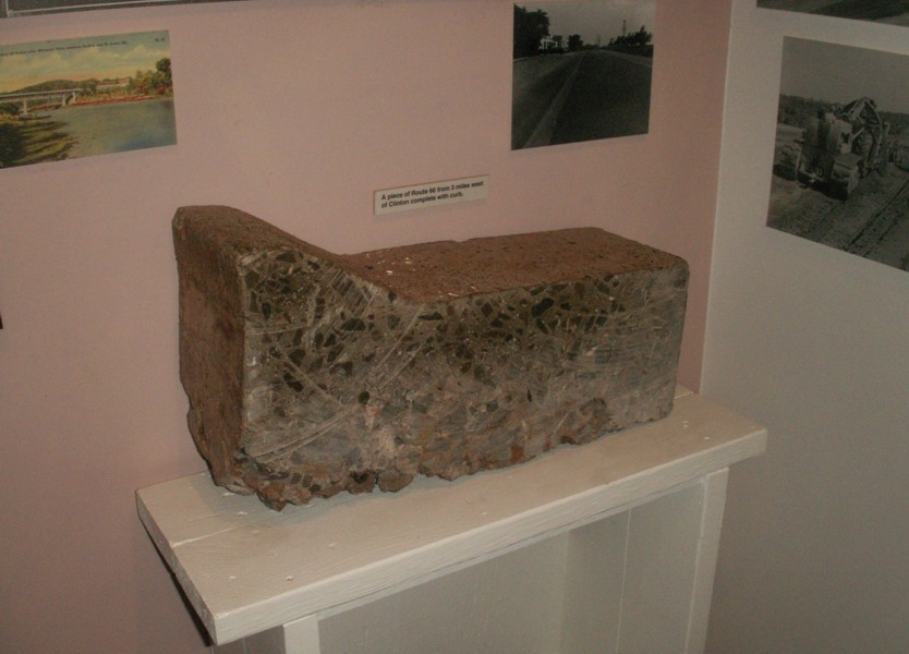
18. A section cut from the concrete paving through western Oklahoma. the curb is shallow and was poured with the roadbed. I not sure whether it was worse running up this type of curb or hitting the vertical curbs used now. I've done both. Note how thick that concrete is, and it doesn't seem to have rebar.
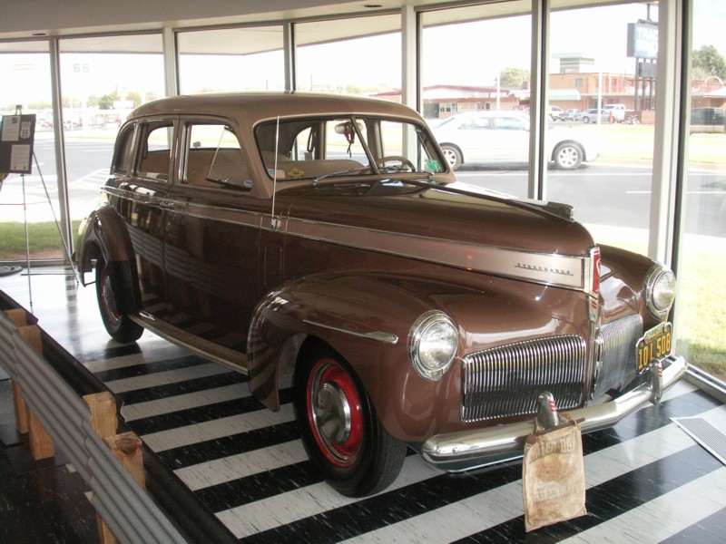
17. A nicely restored old car.
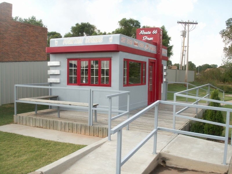
16. Route 66 diner.
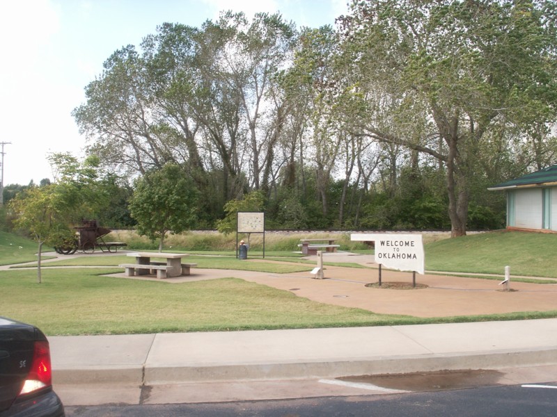
15. A welcome rest area near the museum.
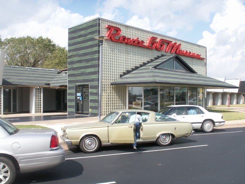
14. Nice museum. Need to add location.
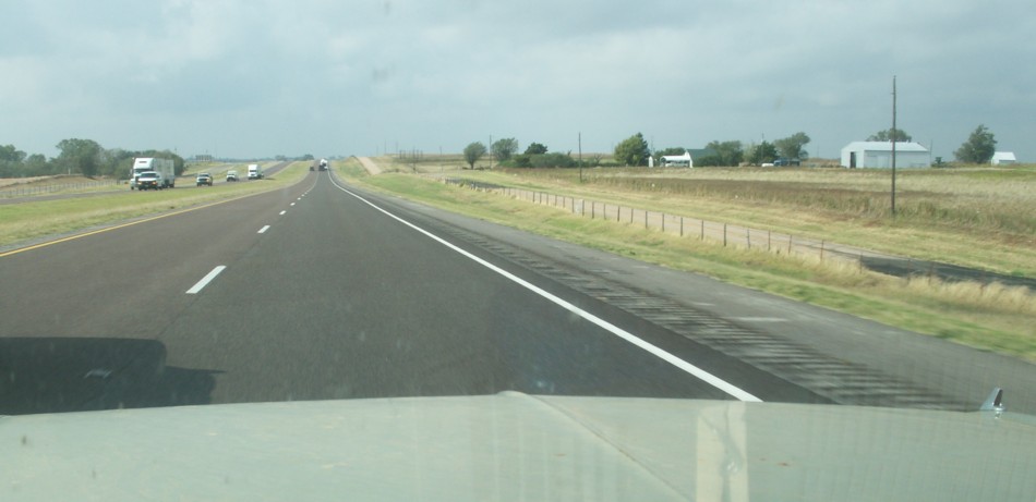
13. Some of the rugged west Texas land.
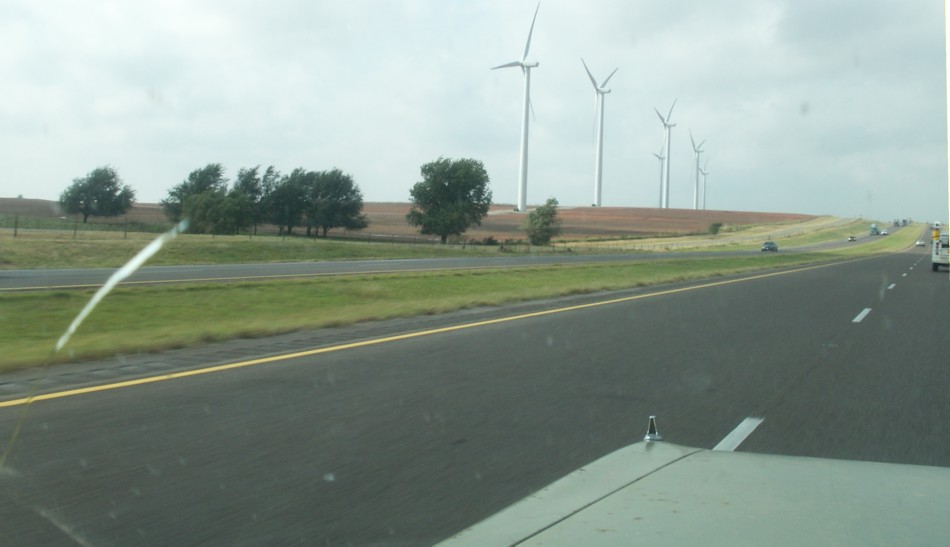
12. Windmills for electricity generation have been in west Texas for a long time. Interstate 40 runs over the old road alignment in lots of places.
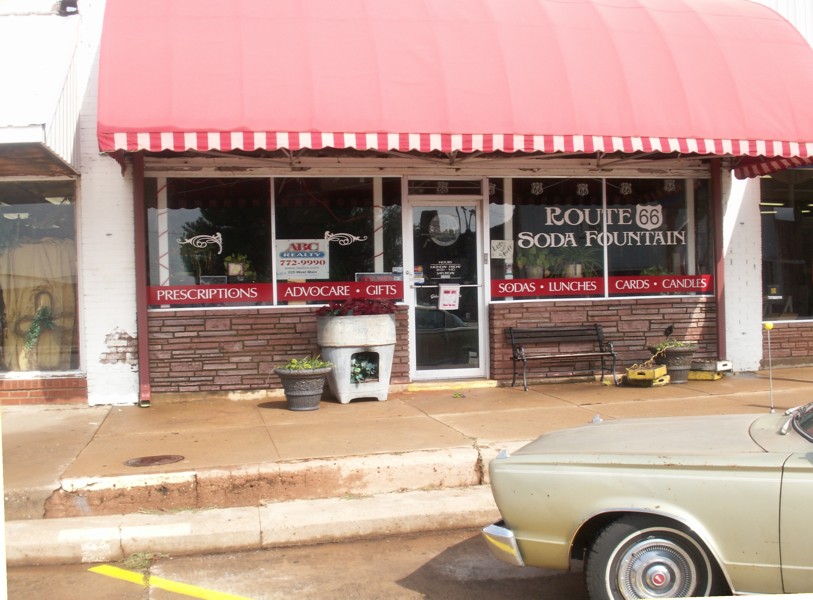
11. At the soda fountain.
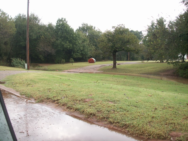
10. Popular art in the country. Faces on round bales or bales made into sculptures.
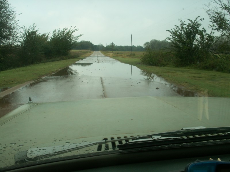
9. Old original concrete paving with curbs poured as part of the surface. There is a section of the pavement in a museum farther down the road.
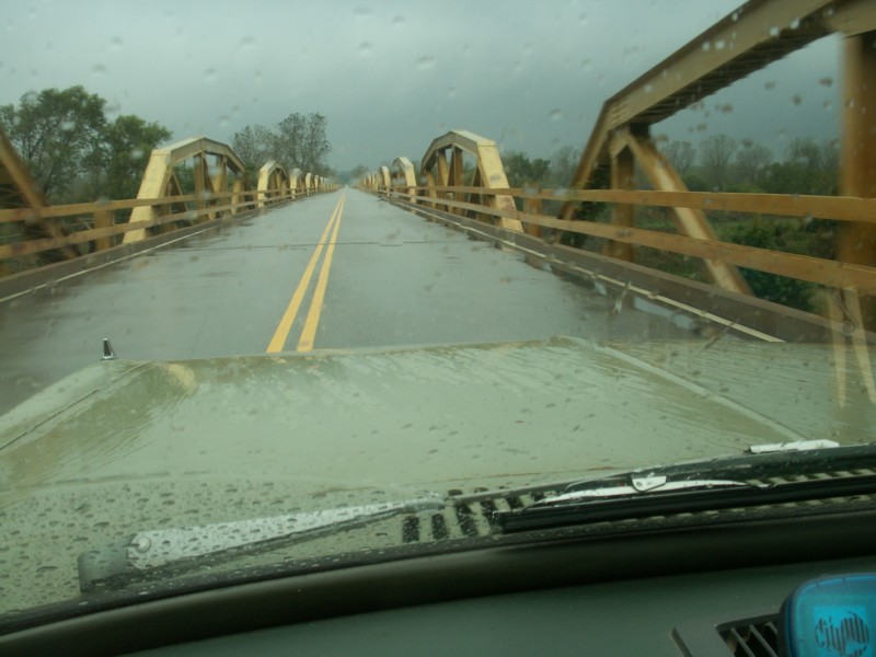
8. Many pony bridges end to end across a low flood runoff.
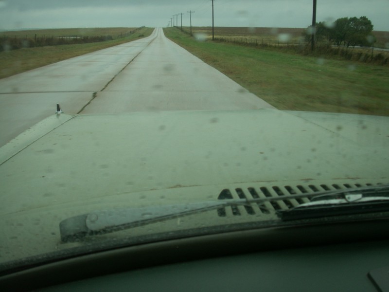
7. Long road ahead.
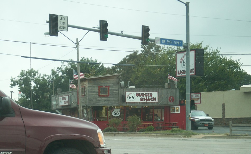
6. Burger shack.
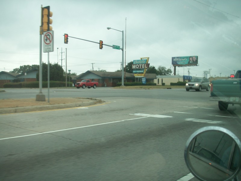
5. Motel sign.
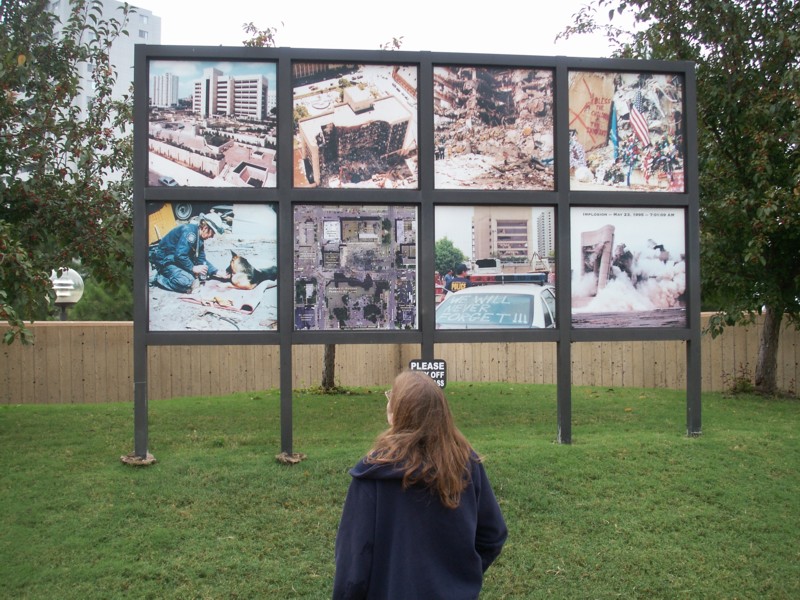
4. Photo display board with photos of various stages.
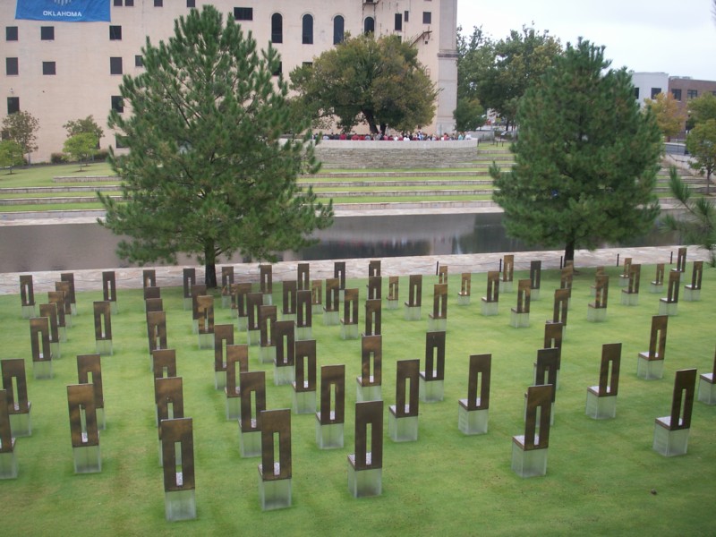
3. There is a memorial chair for each person killed in the explosion. The row represents the building floor where the person. The tree in the background was almost killed in the blast.
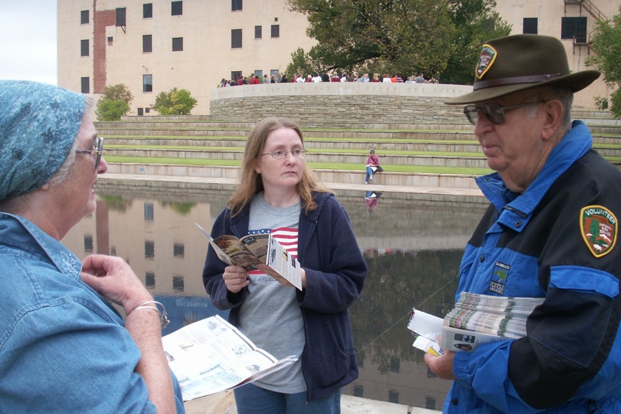
2. Ann and Becky talk to one of the park interpreters.
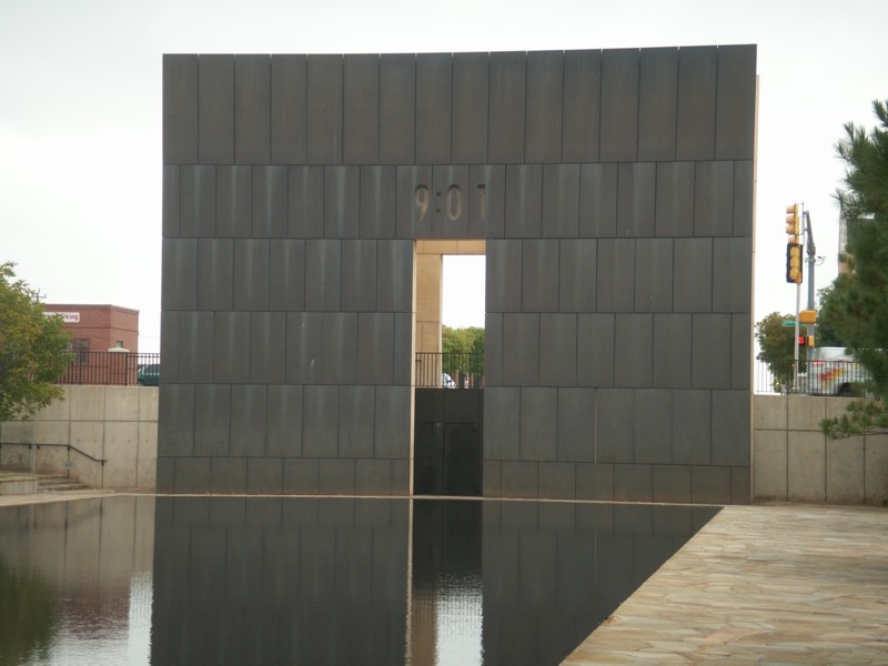
1. The inside of the formal entrance to the memorial site showing the time 9:01, the time just before the explosion. The gate at the opposite end of the reflection pool facing this gate shows 9:03, the time the rescue effort began.
MURRAH FEDERAL BUILDING MEMORIAL - The Murrah Federal Building Memorial site is not on Route 66, but we wanted to visit it again. I include four photos here and there are additional photos from a previous trip here.

|