
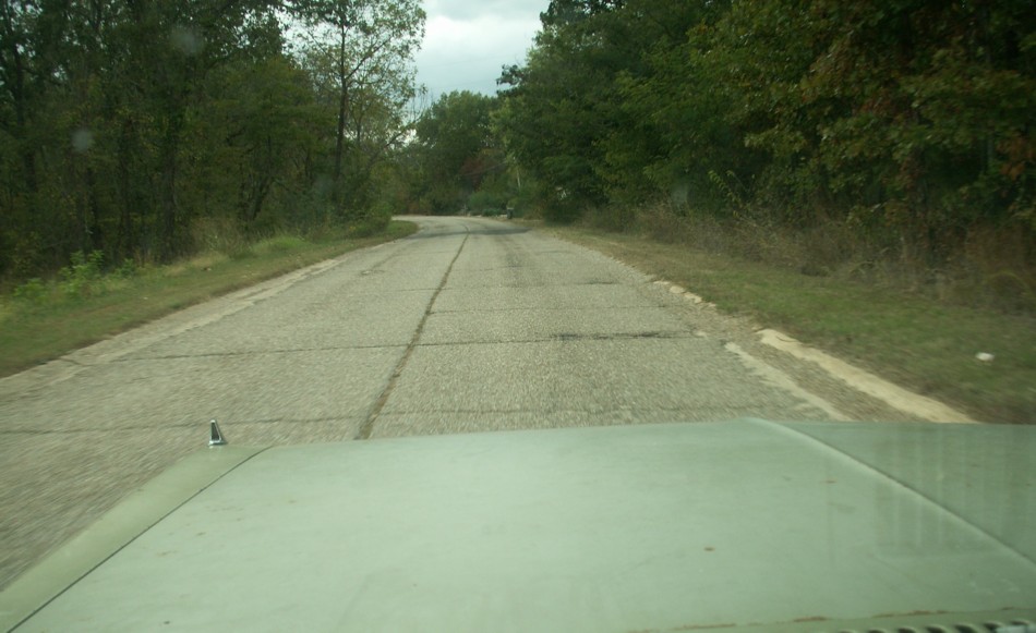
 20. Approaching level ground at the top of the climb.
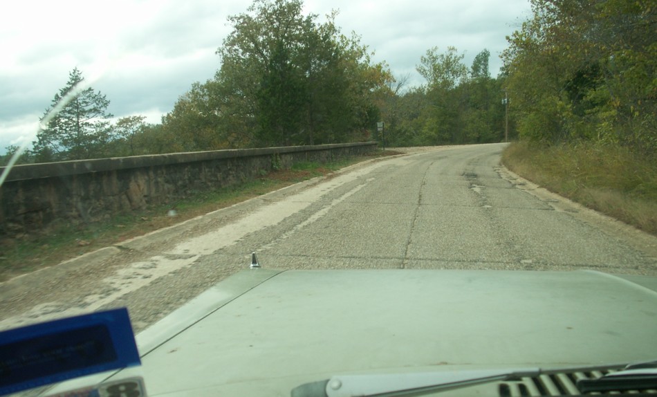 19. There is a steep climb going west from the bridge. This section had a rock wall to block the view of the drop-off.
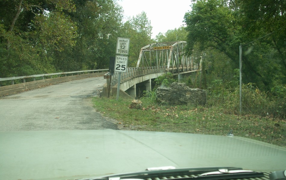 18. The four-lane divided section shown in the previous photo bypassed this old original alignment of Route 66 that crossed the river at Devil's Elbow. It has been many years but I believe loggers had trouble floating logs through this area.
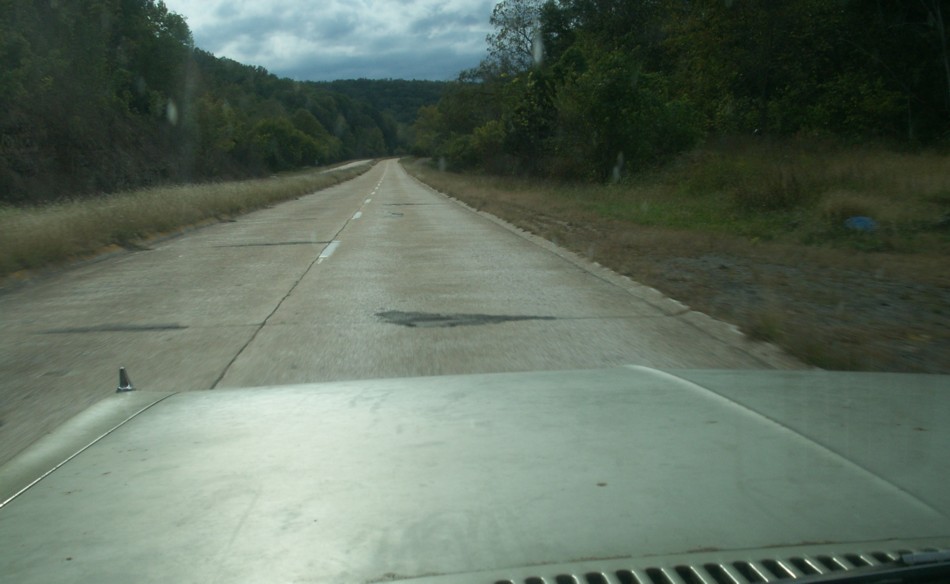 17. This section of divided highway is a section paved in the 1930s to bypass the crossing at the Devil's Elbow. This section went through the deepest cut in Missouri at that time. It was bypassed by the Interstate a little farther north through an even deeper cut.
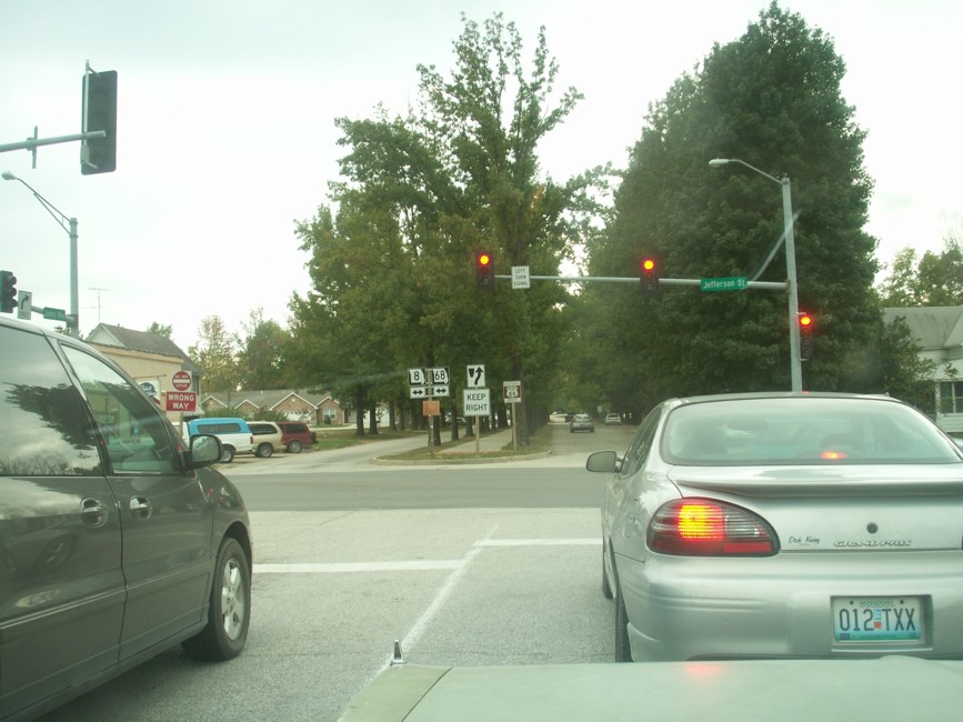 16. Signage could get complicated at intersection. There usually isn't an indication for old Route 66, but there seems to be one here.
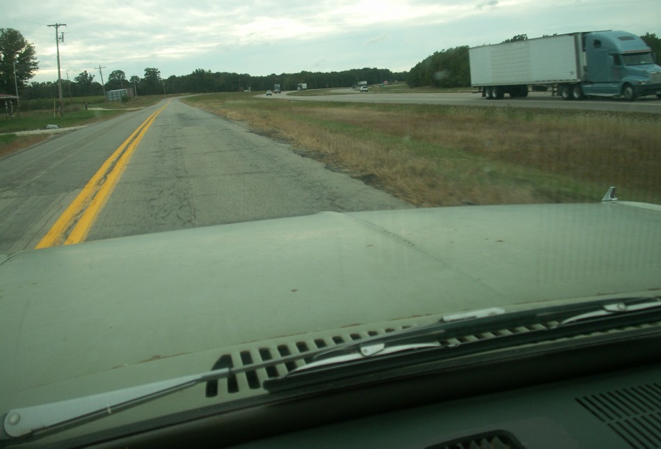 15. Occasionally the old Route 66 pavement alignment was modified for use as the Interstate access road.
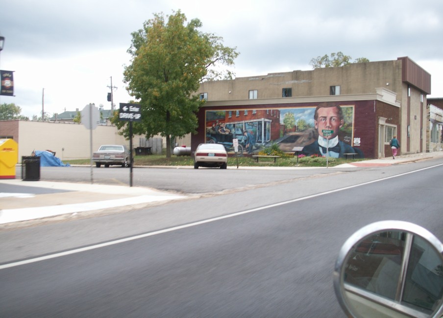 14. Murals in Miami, Missouri. I only include two; they have many more. It's their thing.
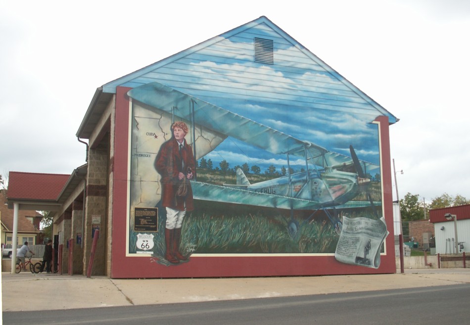 13. Murals in Miami, Missouri. I only include two; they have many more. It's their thing.
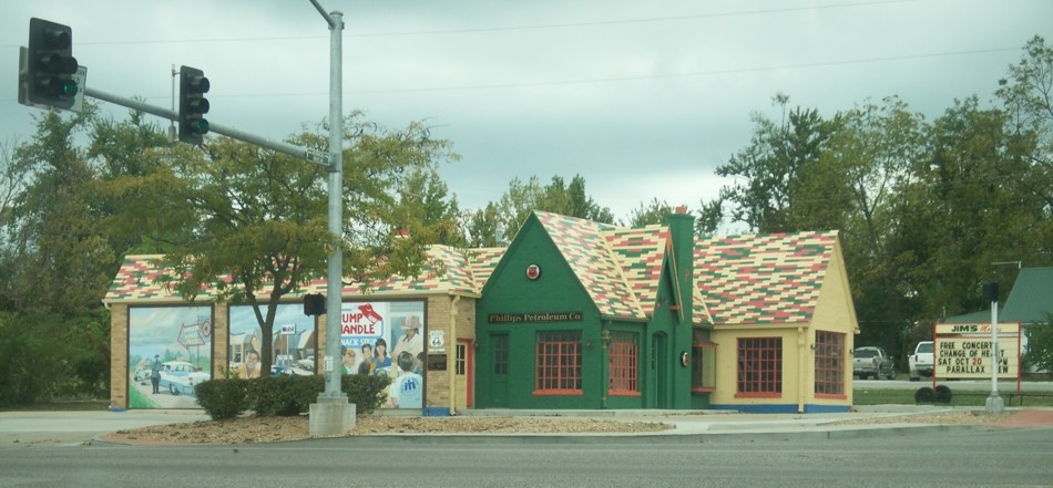 12. Interesting filling station.
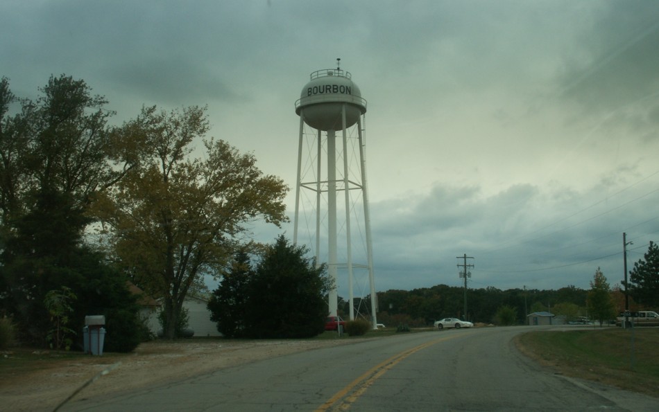 11. Bourbon, Missouri.
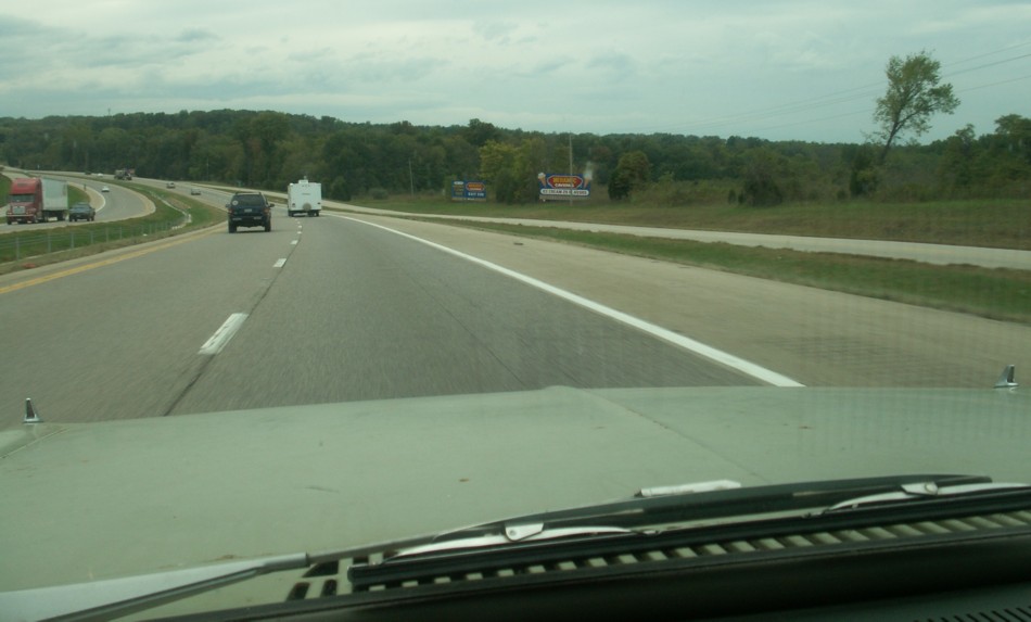 10. In many areas the Interstate was the only way to get there. At other times we had to take the main roads to make up time.
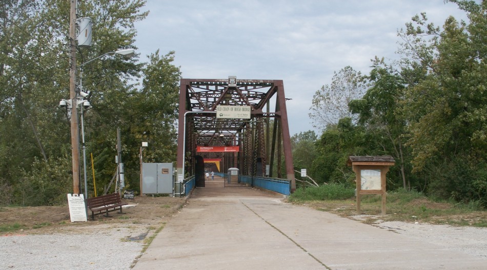 9. West entrance to the "Chain of Rocks" bridge across the Mississippi River at St. Louis.
Many more photos of the bridge and river.
9. West entrance to the "Chain of Rocks" bridge across the Mississippi River at St. Louis.
Many more photos of the bridge and river.
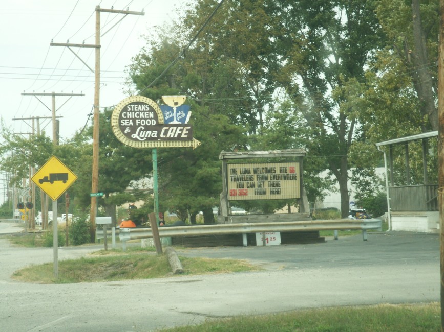 8. One of the noted restaurants along the way.
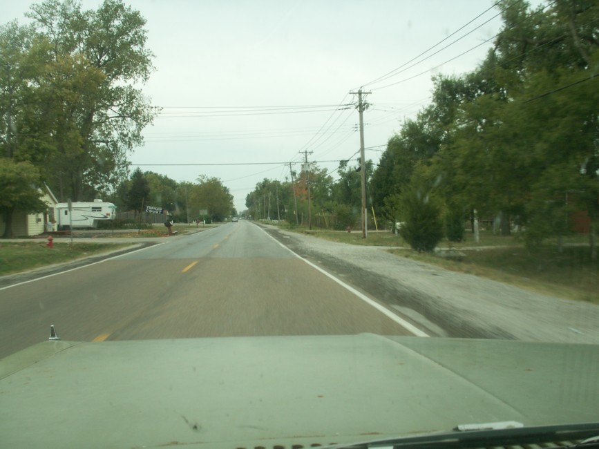 7. The old route along a city street.
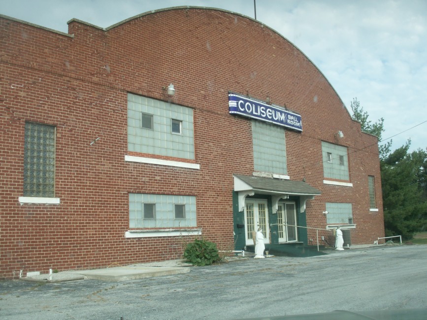 6. One of the famous landmarks.
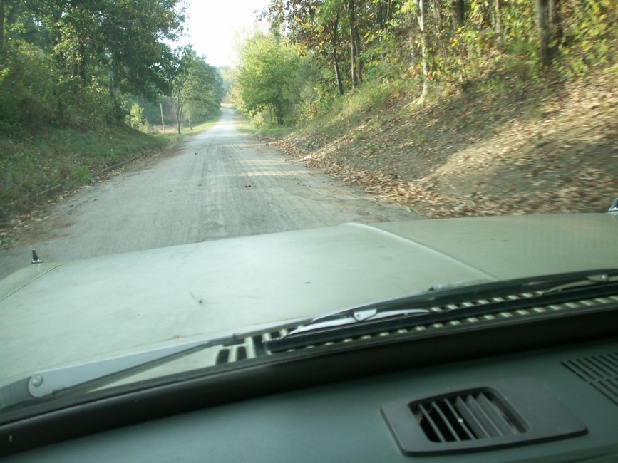 5. A section of old pavement a little farther down the road.
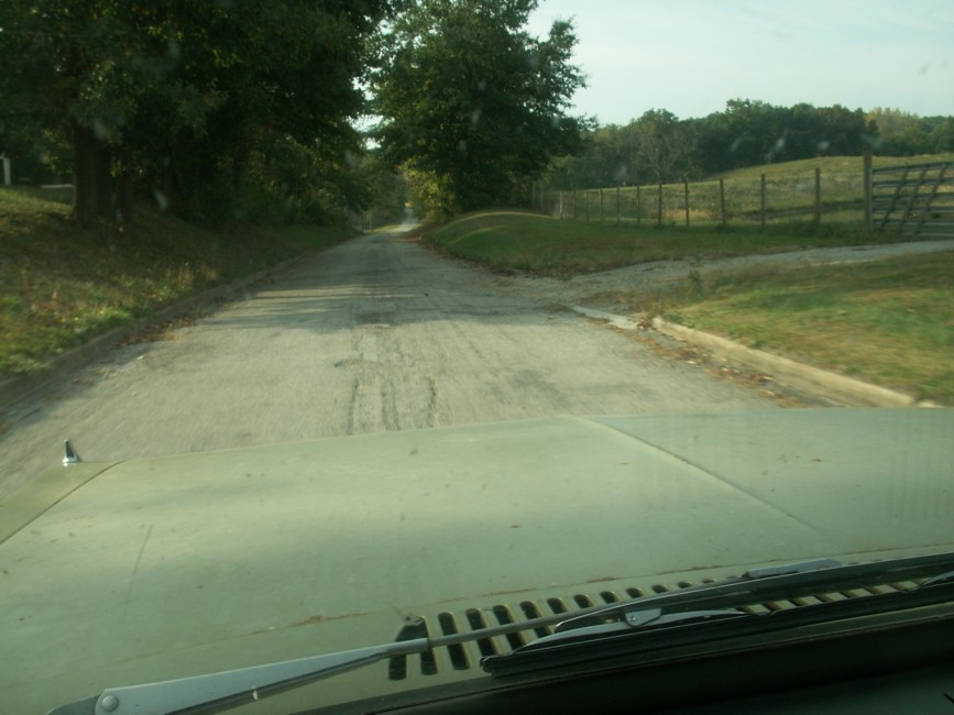 4. A section of old pavement.
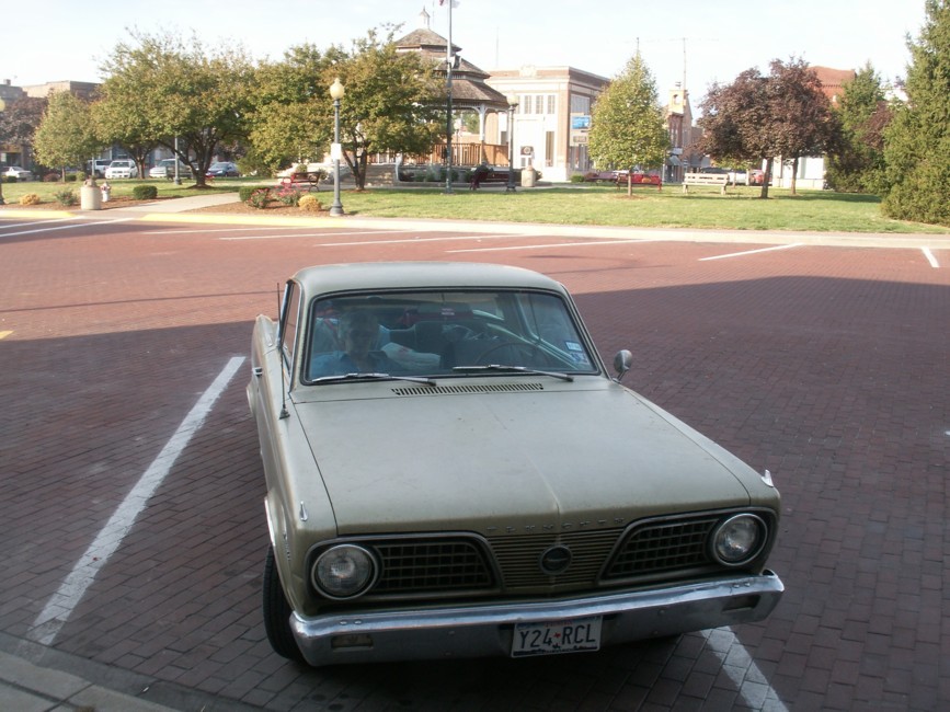 3. Barracuda near a park.
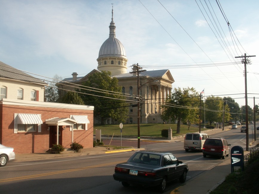 2. Capitol building.
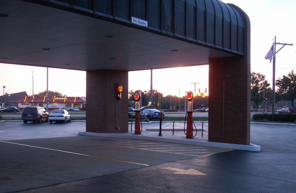 1. The motel had a Route 66 theme.

|