Skipper Family Magazine
INDEX PAGE

Posted: 10/12/12
E-mail me: jamesmskipper1141@att.net

Route 66


"The Mother Road"


DAY 1   DAY 2   DAY 3   DAY 4   DAY 5   DAY 6   DAY 7   DAY 8   DAY 9   DAY 10

Chain of Rocks Bridge

Mississippi River at St. Louis

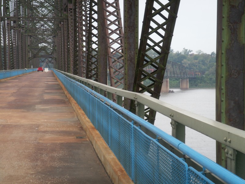
The Old and the NewThis is a view of the bridge with the I270 bridge in the background. Trees on the East River Bank Upstream
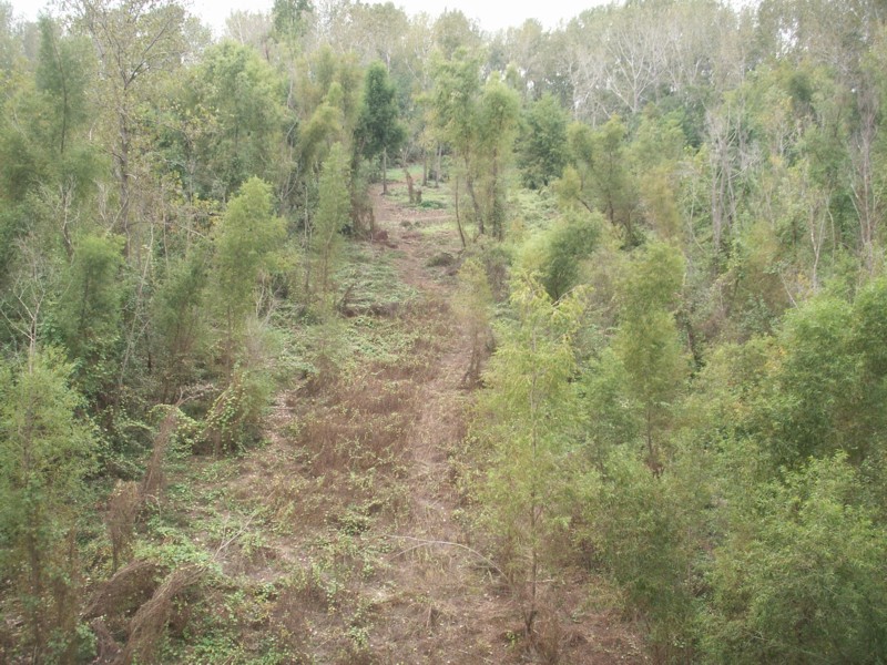
This part of the east back is low and wide. I don't know whether the bank rises further on or whether there is a levee, but this area probably is under water when the rive is up.
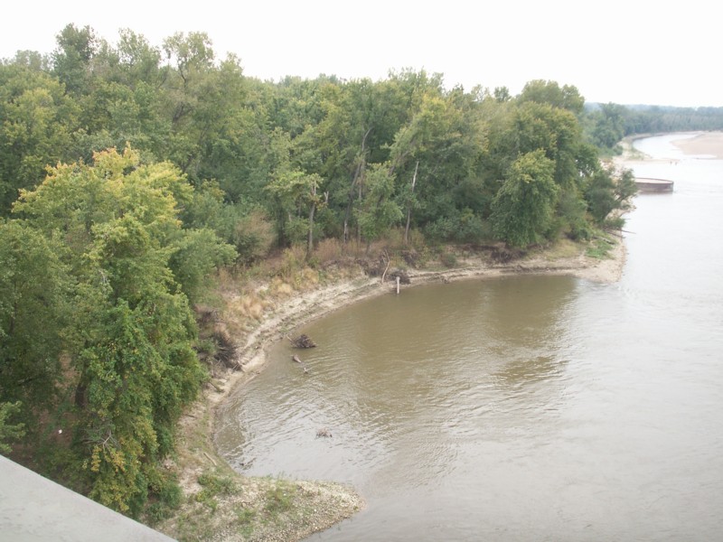
River Bank Downstream
Back at the east bank of the river I took the view downstream.
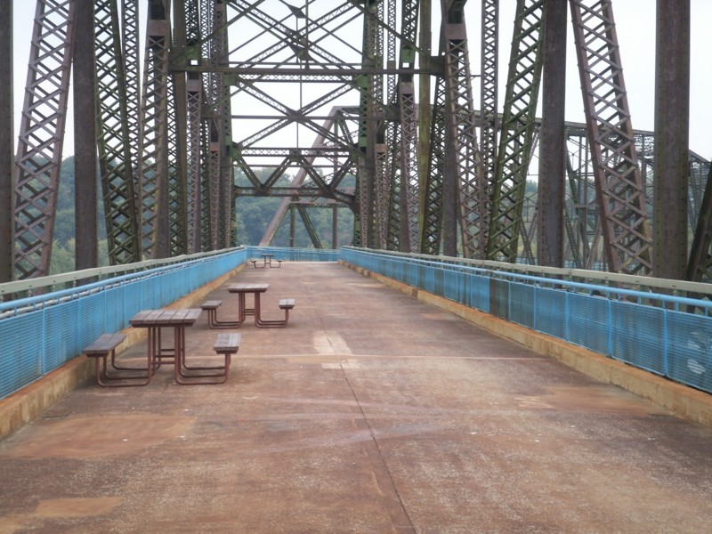
Looking Back at the Curve
This is the view back toward the curve. For some reason I decided not to go all the way to the west end of the bridge.
Looking Around the Curve
This is the view around the curve toward the west end of the bridge.
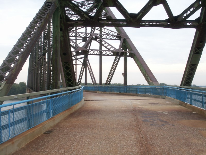
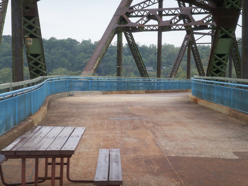
Curve Ahead
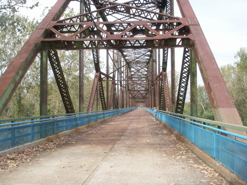
There is a slight curve out on the outside to make it easier for vehicles to get by each other.
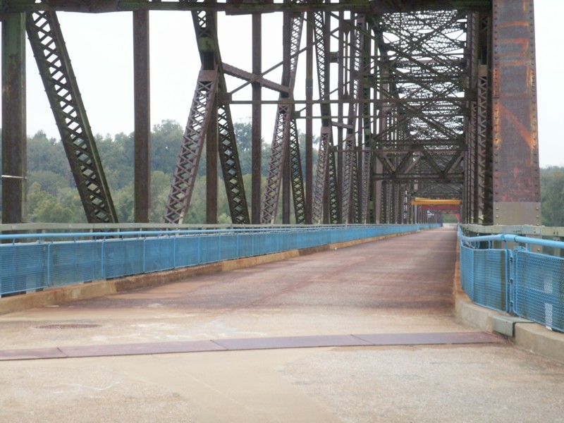
Approaching the Curve
Curve Ahead
That curve must have been tricky in heavy traffic.
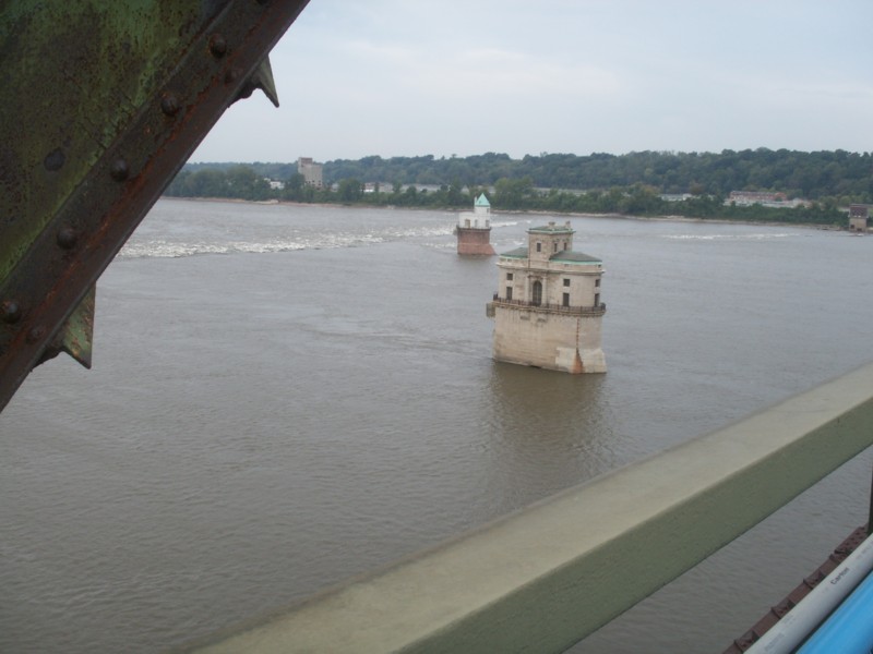
Water Inlet Structures
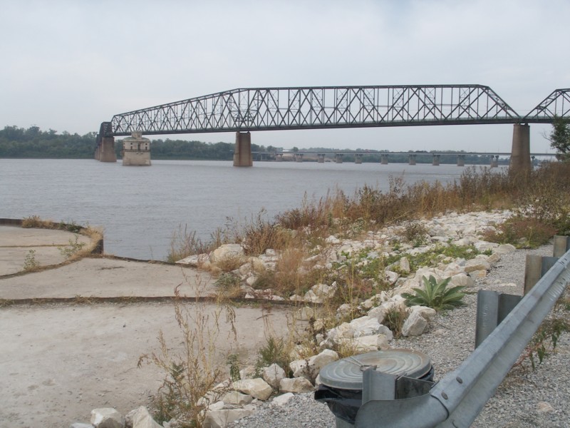
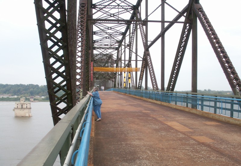
This gives a better view of the water system inlet structures. They were built long before the bridge was and provided filtered river water to St. Louis. There's is some information about them on the Wikipedia bridge page. The "chain of rocks" across the river form a rapids and river traffic now bypasses this area through a canal on the Illinois side.
View of the Curve
The bridge makes a turn to the right as it nears the west bank. I think because of right-of-way issues. The Wikipedia page gives much more detail that I can give here. I found out that this bridge was a private toll bridge, and the Route 66 Bypass around west and north St. Louis was connected to it. Business 66 still crossed on the MacArther Bridge further downstream.
Crest of the Bridge
This shows the crest of the bridge deck.
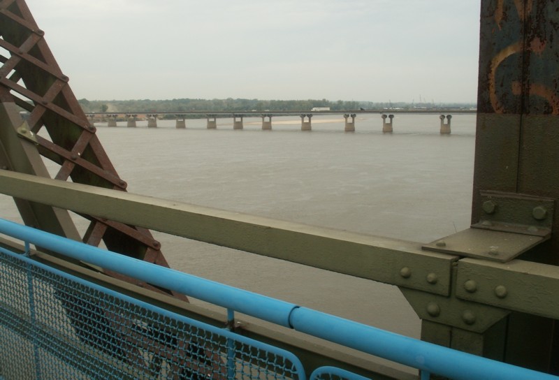
View of New Interstate Bridge
This upstream view shows the I270 bridge.
Ann on Bridge
This is a view of the bridge and the structures on the downstream side. Those castle-like buildings are intakes for the city water system. Ann walked about half way across the bridge and then waited for me to walk on to the curve.
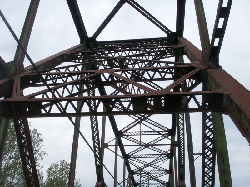
Bridge Superstructure
A View of the Superstructure
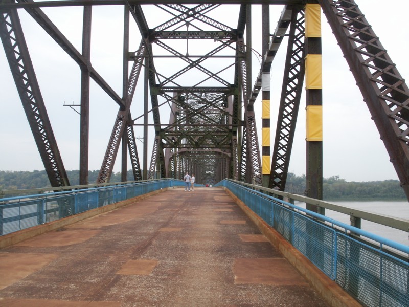
Entering the Bridge
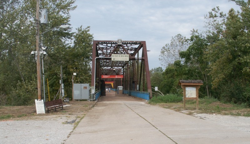
This was a toll bridge at one time and a toll both was located near the entrance. The parking area on the east bank is very basic. Tourists are cautioned to lock valuables in trunks to help deter thieves who know that tourists will be away from their vehicles for several minutes while walking across the bridge.
The east bank is low and it is some distance from the east end before the bridge is over the water.
Bridge Entrance
The Chain of Rocks Bridge across the Mississippi River at St. Louis
This is where old Route 66 crossed the river and it was in use from its construction in 1929 until about 1970. Can you imagine modern traffic crossing the two-lane bridge during a busy commute? Note the potential difficulty of meeting traffic at the bend in the bridge! Th I 270 bridge just upstream was built in 1966. It and other bridges in the area relieved the traffic on this old bridge. It is open to pedestrians and bicyclists now, and once a year cars are allowed to drive across.
DAY 1   DAY 2   DAY 3   DAY 4   DAY 5   DAY 6   DAY 7   DAY 8   DAY 9   DAY 10

"At 66, are we to old to get our kicks?"


"The Mother Road"


Route 66


Some links to other sites with photos of the Chain of Rocks Bridge:

More Route 66 Info - Here is the Chain of Rocks Bridge page on another Route 66 website. It has a few more photos and a lot of information. I like the old postcard showing an ariel view of the bridge from the west with the original toll booth on the Missouri bank. The Chain of Rocks Bridge became a part of Route 66 in 1936 and was used until 1968 when the opening of the toll-free I-270 bridges caused a decline in traffic.
Conor Watkins' Ozark Mountain Experience - More good big photos. It has a nice photo of the 22 degree bend in the bridge as viewed from the west approach. It also provides road maps of the area.